An aerial view of the rail – my son brought his drone to the walk, and suddenly the 10 or so meters of my scroll found its context. The work on the scroll will also be called Walk the Line and will be a separate work from this visual videographed work.
From the air, the rail could become a scar that the Swartland is trying to heal or conceal. To me, a reminder that while I am recording the ‘Missing Pieces’ on the ground, the landscape itself is a living record of our changes. The drone offers a Cartesian map, but my own walking along the line offers a phenomenological map—it is the difference between seeing a line and feeling the vibration of the ballast through the soles of your boots.
(I uploaded this video onto YouTube on 18/04/2026)
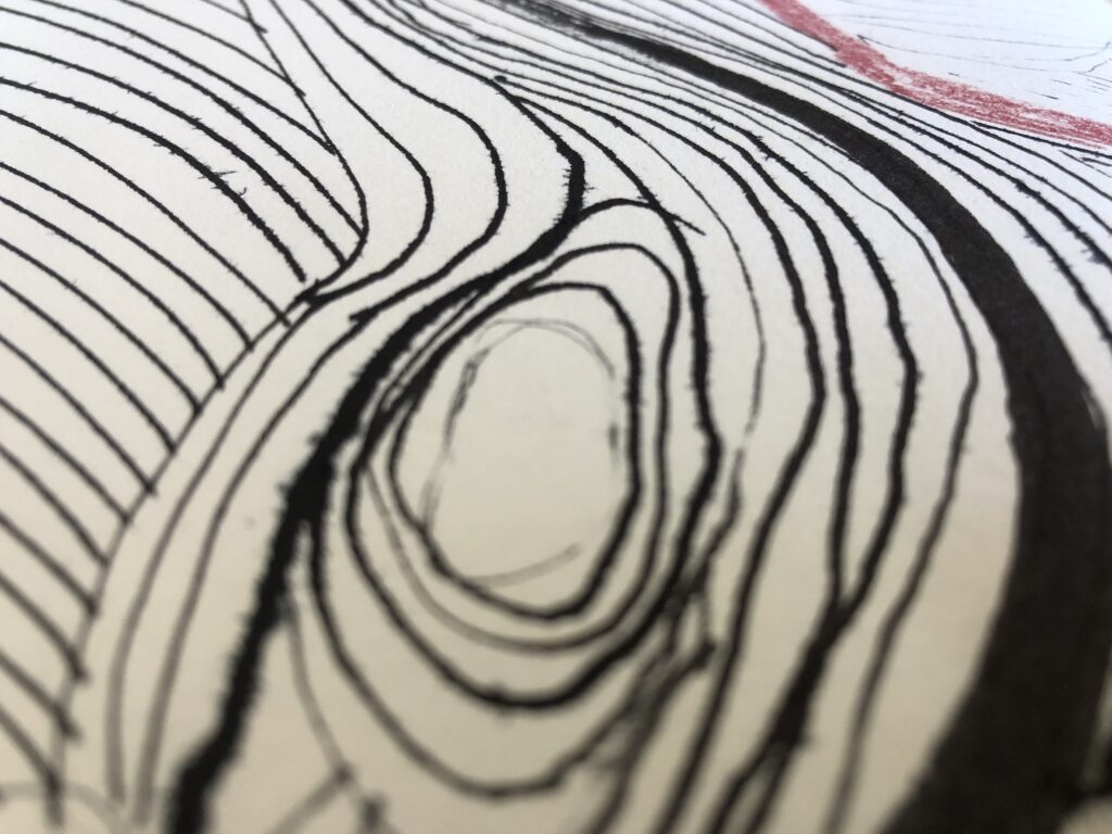
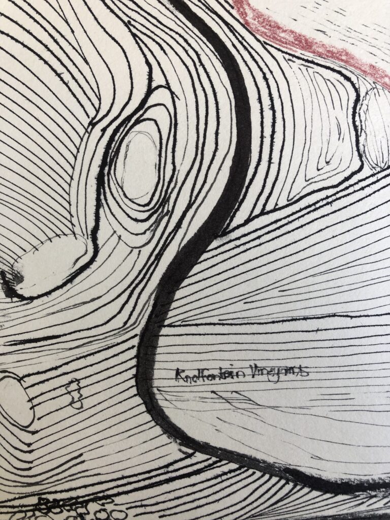
I enjoyed seeing how the fields on Knolfontein farm bow to the railway. The plough lines and farm roads curve to follow the embankment, creating a rhythmic “interference pattern” between the industry and the agriculture. The vineyards line up in straight lines next to the railroad. In many ways, it became a Geometry of Sustained Action, a manufactured surface. The plough lines are “drawings” made by a tractor over hours and days. They represent the rhythm of food production and the farm’s colonial boundaries. The footpaths are “drawings” made by thousands of steps over the years. They represent the rhythm of survival and the rejection of the “car-only” infrastructure. Will my scroll become a “drawing” made by sustained attention? My rubbings of steel and my Krupp stamp are my repetitive actions.
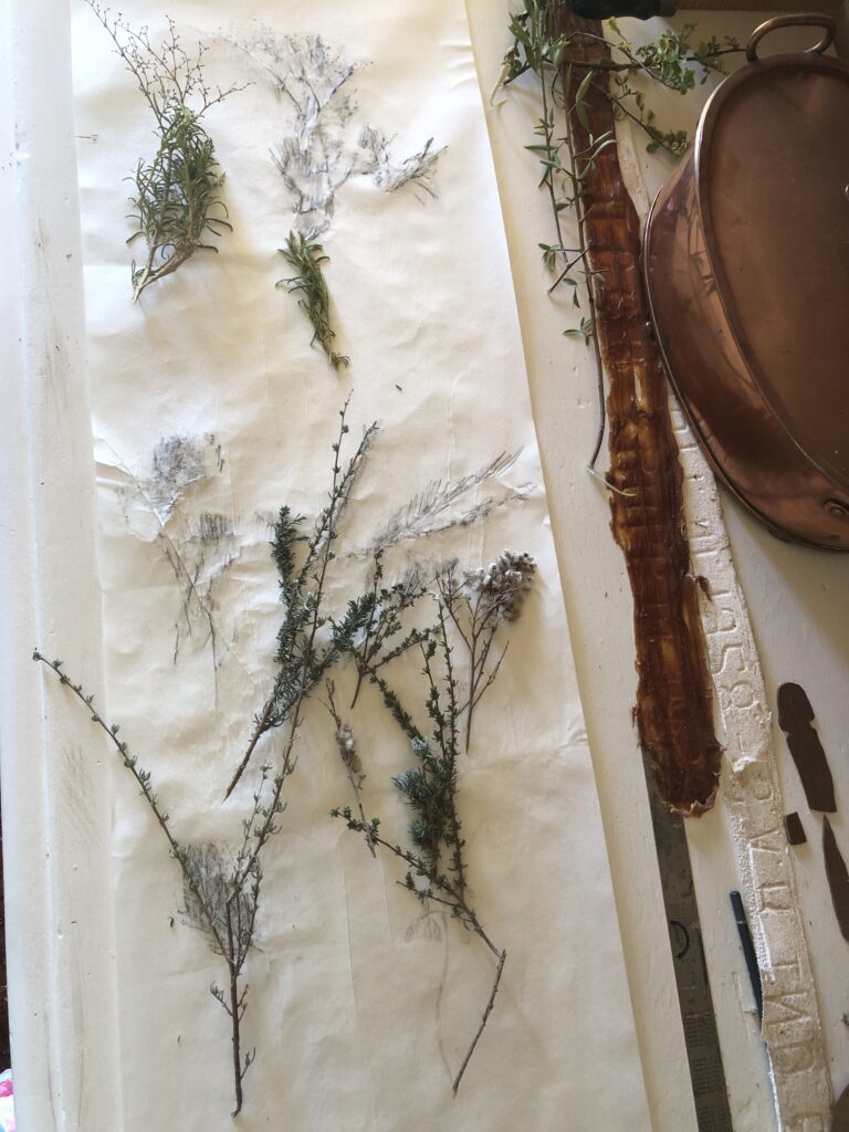
Looking down on the rail, I connected with plants trying to cover these incisions in the landscape. It tells of a lingering mood that followed the first walks; I am at home on the site, my curiosity has been aroused, and my steps are gradually slowing. I decide to stop and react to what I am seeing. Is this where the body moves slower than the wandering mind? Is this a liminal stage?
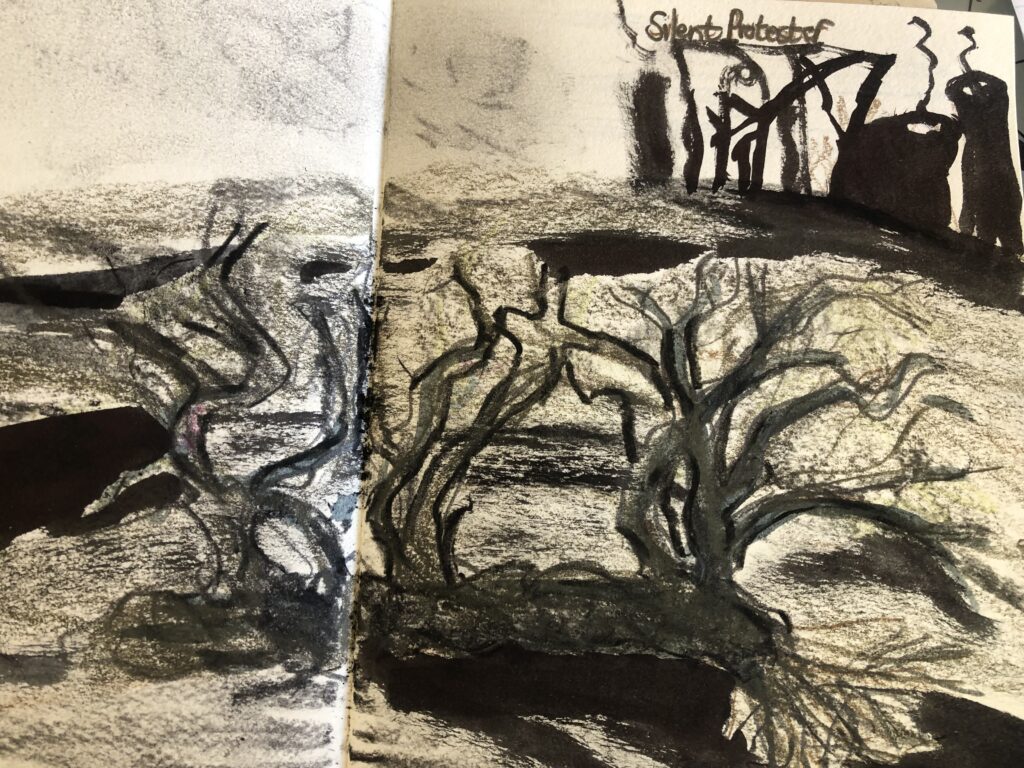
Later, I used my ink (take-sume ) to make a few drawings on the prepared paper. I want to work by using minimalism and convey the gesture of the plant, only recording the essence of the movement. I learned that while Take-Sumi (Bamboo Charcoal) is the specific “flavour” or pigment, the Iroshizuku line is famous among artists and calligraphers for its high “shading” capability—the way the ink pools and thins, creating a landscape within a single stroke.
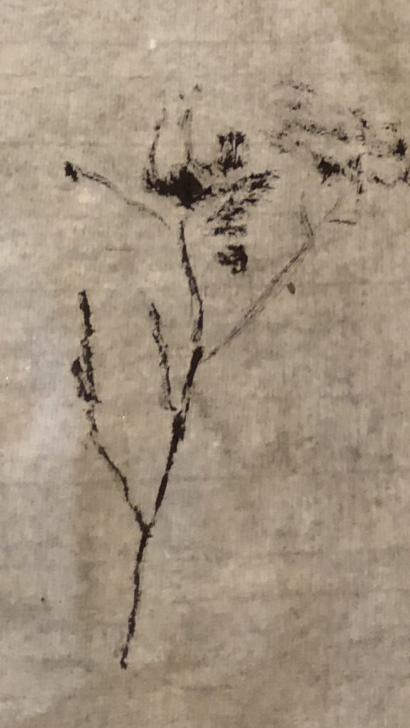
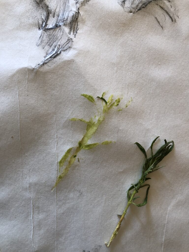
I love how the ink settled into the valleys of the paper – there are slight speckles or grain within the darker areas, and I think this mimics the grit of the railway ballast and dust. The bleed of the ink shares the presence of the mark of the plants I found on the line.